How it works
Use the Exwayz 3D Mapping software suite to build accurate, high-resolution maps of your environment. It supports precise georeferencing and map cleaning to unlock optimal localization performance.
Deploy the map across all your devices to enable precise, then localize them in real-time using Exwayz map-based localization. Once deployed, your systems can navigate seamlessly, leveraging high-resolution maps and optimized positioning for reliable performance in any environment.
Key features
Accurate position & orientation
Position with sub-2 cm precision and orient with less than 0.1° error. Real-world performance you can trust.
Real-time
20+ updates per second for position and orientation, delivering fast, responsive localization you can rely on
Low latency
Less than 15 ms for Exwayz Navigation to process a full LiDAR frame. Speed that keeps up with real-world dynamics.
LiDAR only
No external sensors, no complex calibration or synchronization, and no infrastructure modification. Just seamless, ready-to-deploy performance.
Sensor agnostic
Works with single or multiple LiDARs, regardless of range, density, or scanning pattern. Flexibility built in without performance loss.
Insensitive to indoor / outdoors
LiDAR-only localization and advanced mapping let you operate continuously across indoor, outdoor, and mixed environments. No interruptions, no compromises
Get started with your favourite API
Adapted to any middleware, chose the Exwayz Navigation flavor that matches your technical stack:

Industries
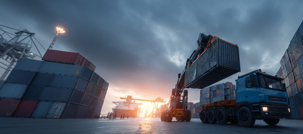
From autonomous robots to self-driving vehicles, Exwayz brings real-time localization and mapping to every field.
Exwayz SLAM turns spatial awareness into actionable insights across industries.


Partnerships
Collaborating with industry leaders to drive innovation in real-time localization and mapping.
Custom projects?
Exwayz technologies adapt to your unique needs, from specialized robots to bespoke navigation solutions. Reach out to our team and let’s bring your vision to life with precise, real-time localization and mapping.